Roof & building imaging
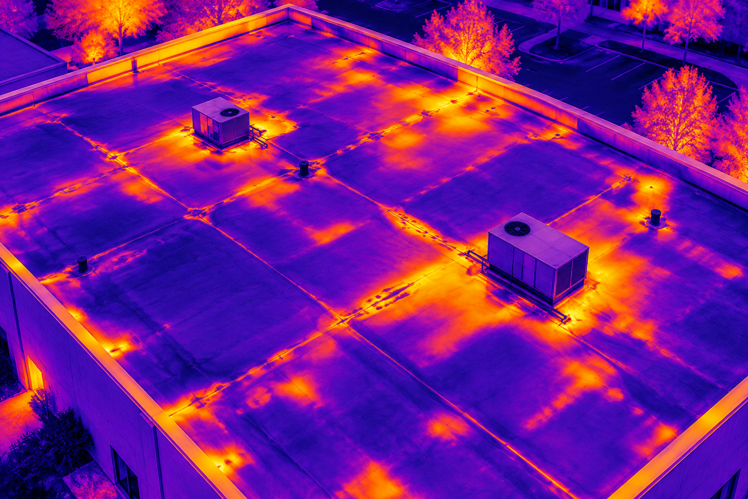
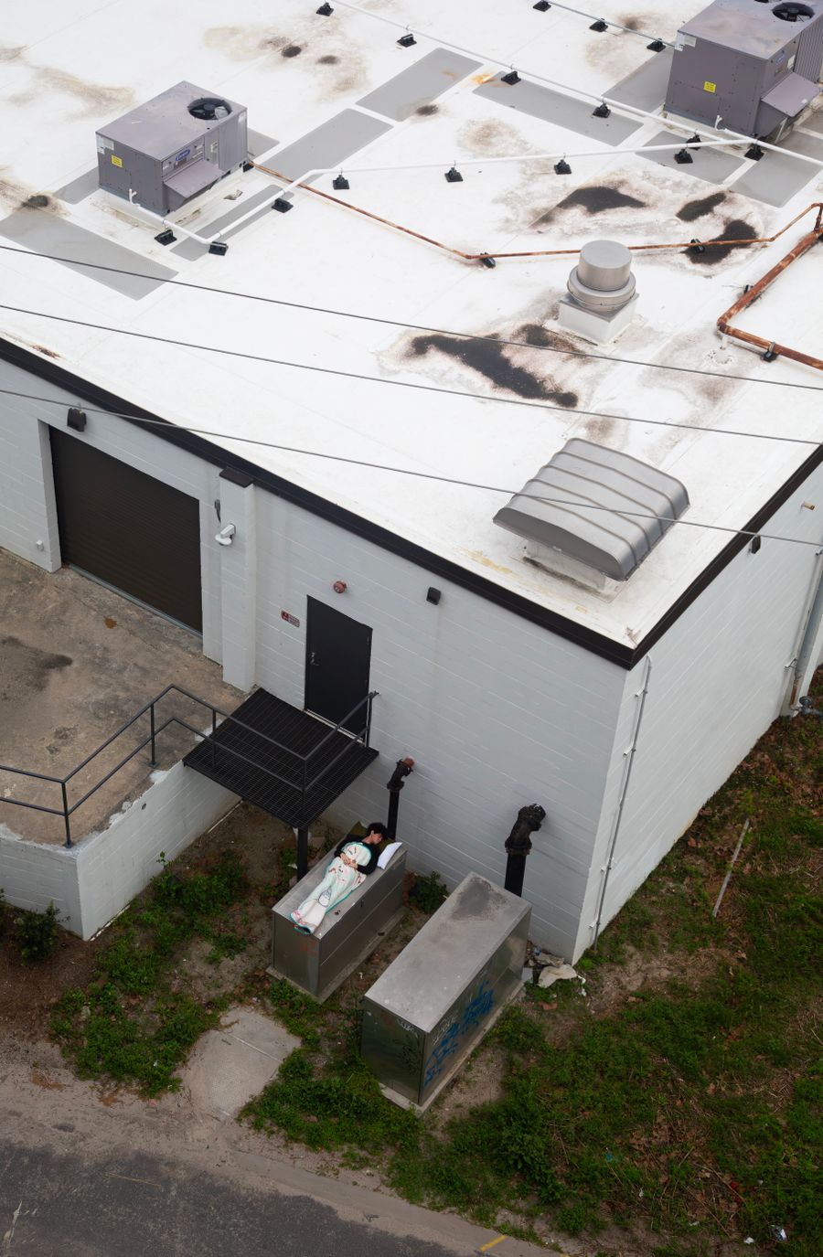
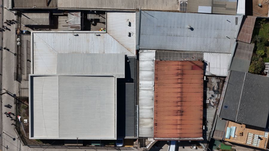
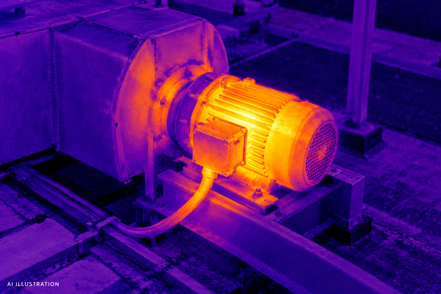
Detailed visual and thermal imagery of roofs, exterior features, and areas of concern. Documentation for property owners, contractors, and insurance follow-up.
Discuss your inspection ↗
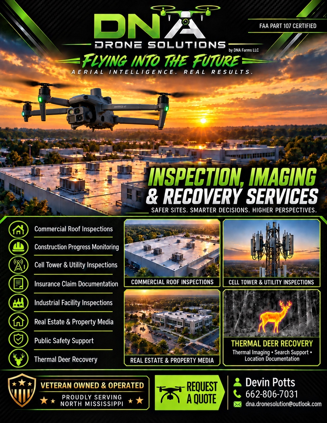
Inspection imaging, property documentation, and thermal deer recovery. See what matters from a whole new angle.
FLYING INTO THE FUTURE / AERIAL INTELLIGENCE. REAL RESULTS.
From a roofline to a remote field, we capture the perspective you need to document your property, evaluate concerns, and plan what comes next.
Detailed visual and thermal imagery of roofs, exterior features, and areas of concern. Documentation for property owners, contractors, and insurance follow-up.
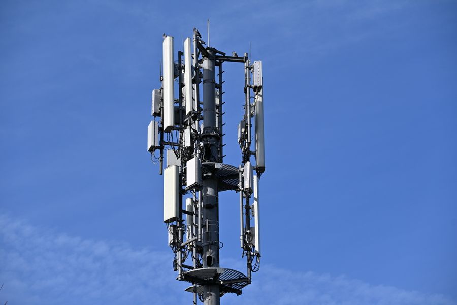
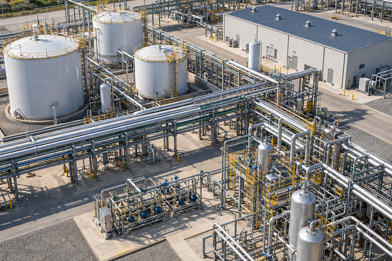
Discuss your inspection ↗Aerial views of elevated structures and hard-to-reach equipment. Capture close-up visual documentation and thermal imagery where appropriate.
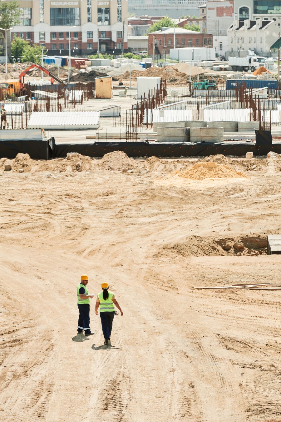
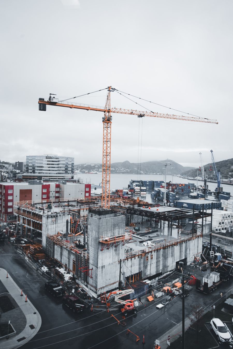
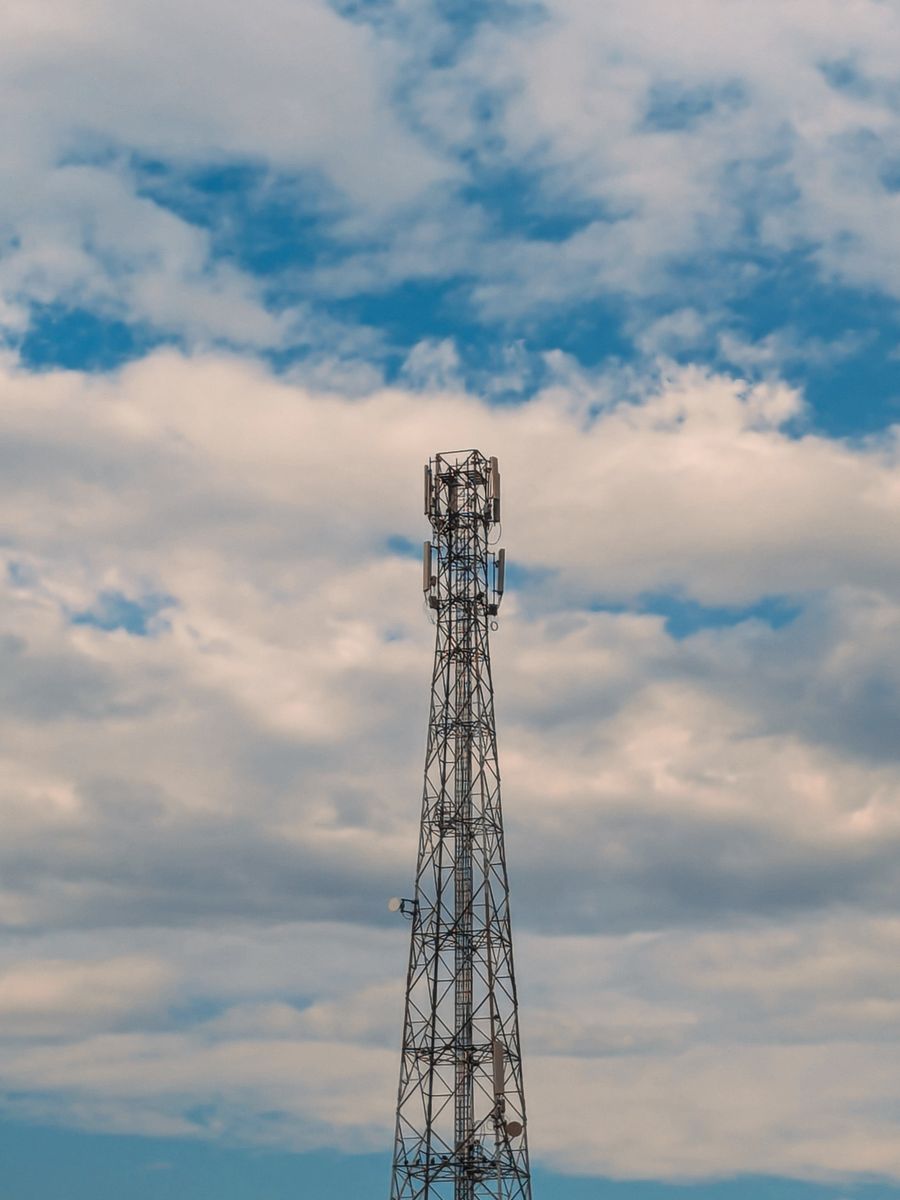
Scope a tower project ↗Repeat aerial views, site overviews, and facility documentation. Keep a visual record of changing conditions and project progress.
Plan site documentation ↗Aerial maps and elevation visualizations for property planning and documentation. We agree on the coverage, detail, and delivery format before the flight.
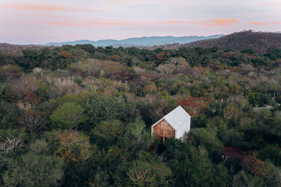
Discuss your property ↗Aerial photography and video showcasing buildings, land, access, and surroundings. A useful perspective for listings and property presentations.
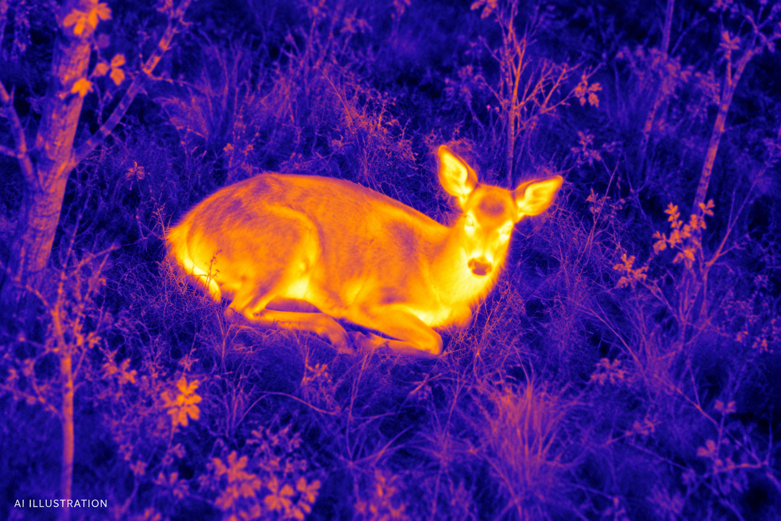
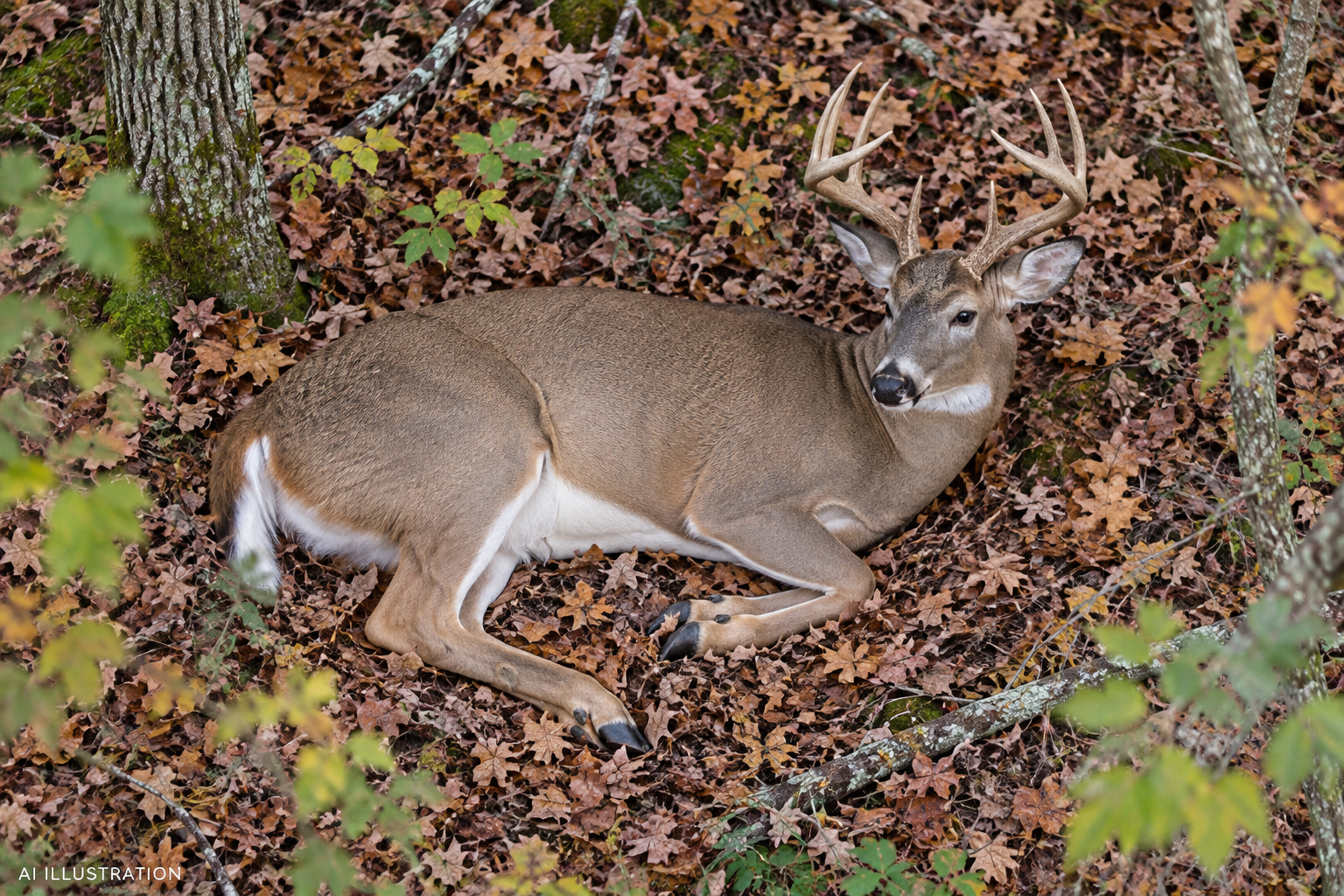
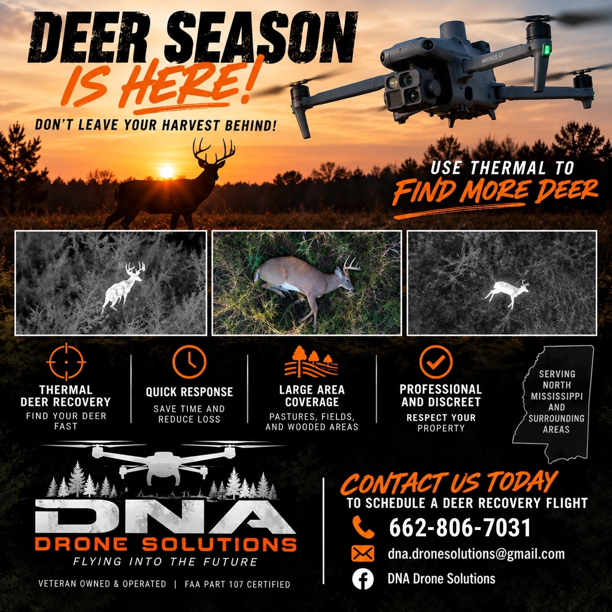
Plan your imagery ↗Aerial thermal searches to assist in locating downed deer. Share your last known location and search details so we can assess the recovery.
Explore deer recovery ↗
Thermal drone imaging adds an aerial perspective to a downed-deer search. We work with your last known location and property access to plan a focused recovery effort.
Search results depend on conditions, cover, and the available information. Recovery is not guaranteed.
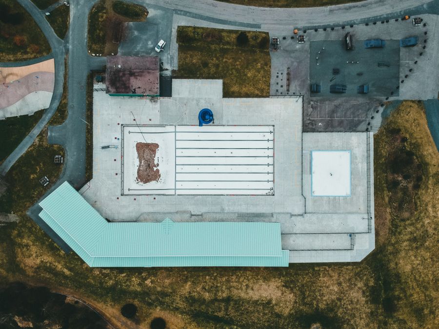
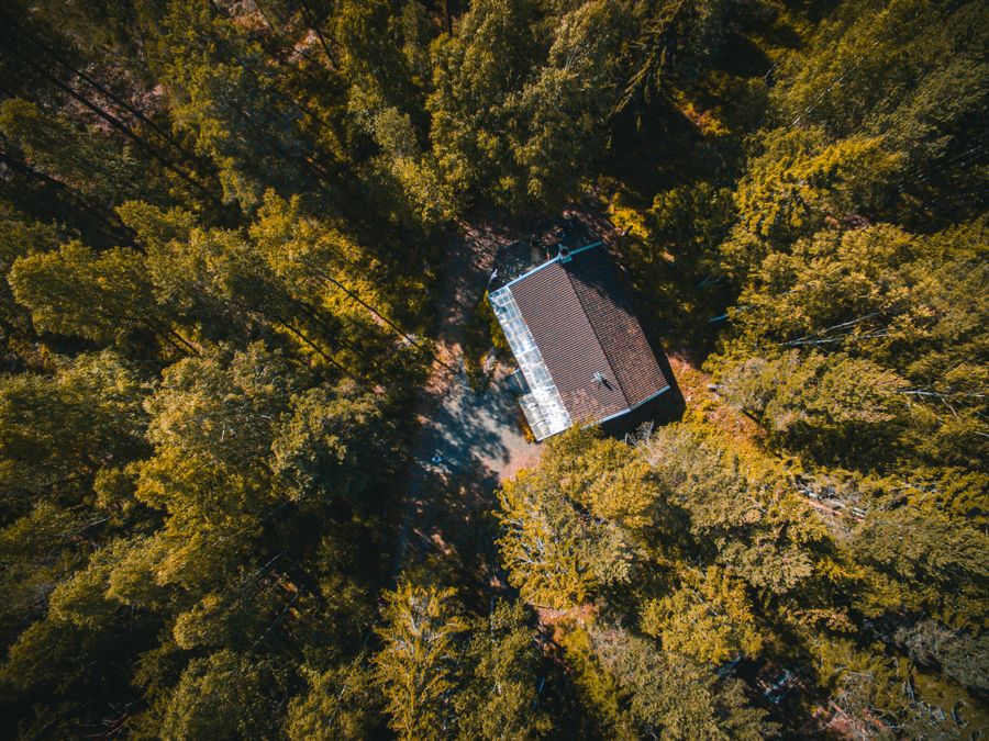
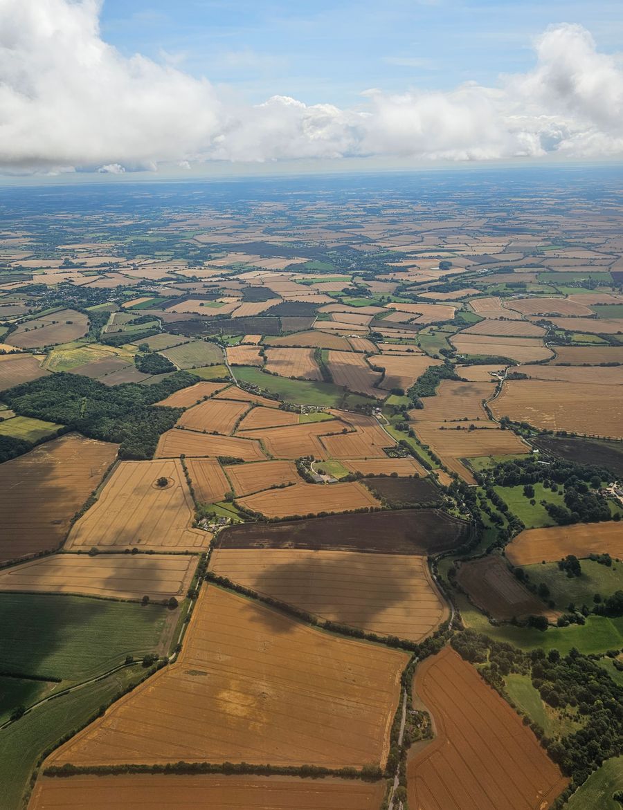
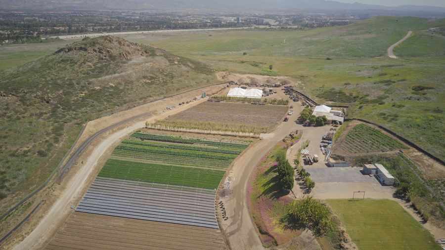
A single overhead view can put a building and its surroundings in context. Close-up imagery and thermal observations can then focus attention on specific areas.
PROPERTY DOCUMENTATIONAERIAL PHOTOGRAPHYBUILDING OVERVIEWSDeliverables are scoped to your project: photos, video, maps, or an agreed imagery report.
Tell us what you need to see ↗
DNA Drone Solutions is owned and operated by Devin Potts, a retired U.S. Army First Sergeant with 20 years of active-duty service. Based in Coldwater, Mississippi, Devin brings that experience to planning, communication, and careful documentation.
Our DJI Matrice 4T supports visual and thermal imaging for property, inspection, and recovery work throughout North Mississippi.
Share the location, timeframe, and what you want to learn or document.
We discuss access, flight conditions, deliverables, and pricing before scheduling.
Receive the agreed imagery and documentation in a format suited to your project.
Based in Coldwater and serving North Mississippi. Include your job location so we can confirm availability and travel requirements.
Pricing depends on the location, scope, flight time, and deliverables. Call or send your project details for a quote before scheduling.
We agree on that before the flight. Depending on the project, deliverables may include visual photos, thermal imagery, video, maps, or an imagery report.
Imagery documents what the camera can observe. It does not replace a licensed boundary survey, engineering assessment, or hands-on inspection where one is needed. Thermal observations may require further investigation.
The time of the shot, last known location, search history, and landowner permission. Call first so we can discuss availability and whether conditions are suitable.
Yes. Weather, site access, and flight conditions may require a change of plan. We confirm the conditions and scope before flying.
Contact Devin to plan a project or check deer recovery availability.
662-806-7031COLDWATER, MISSISSIPPI / SERVING NORTH MISSISSIPPI